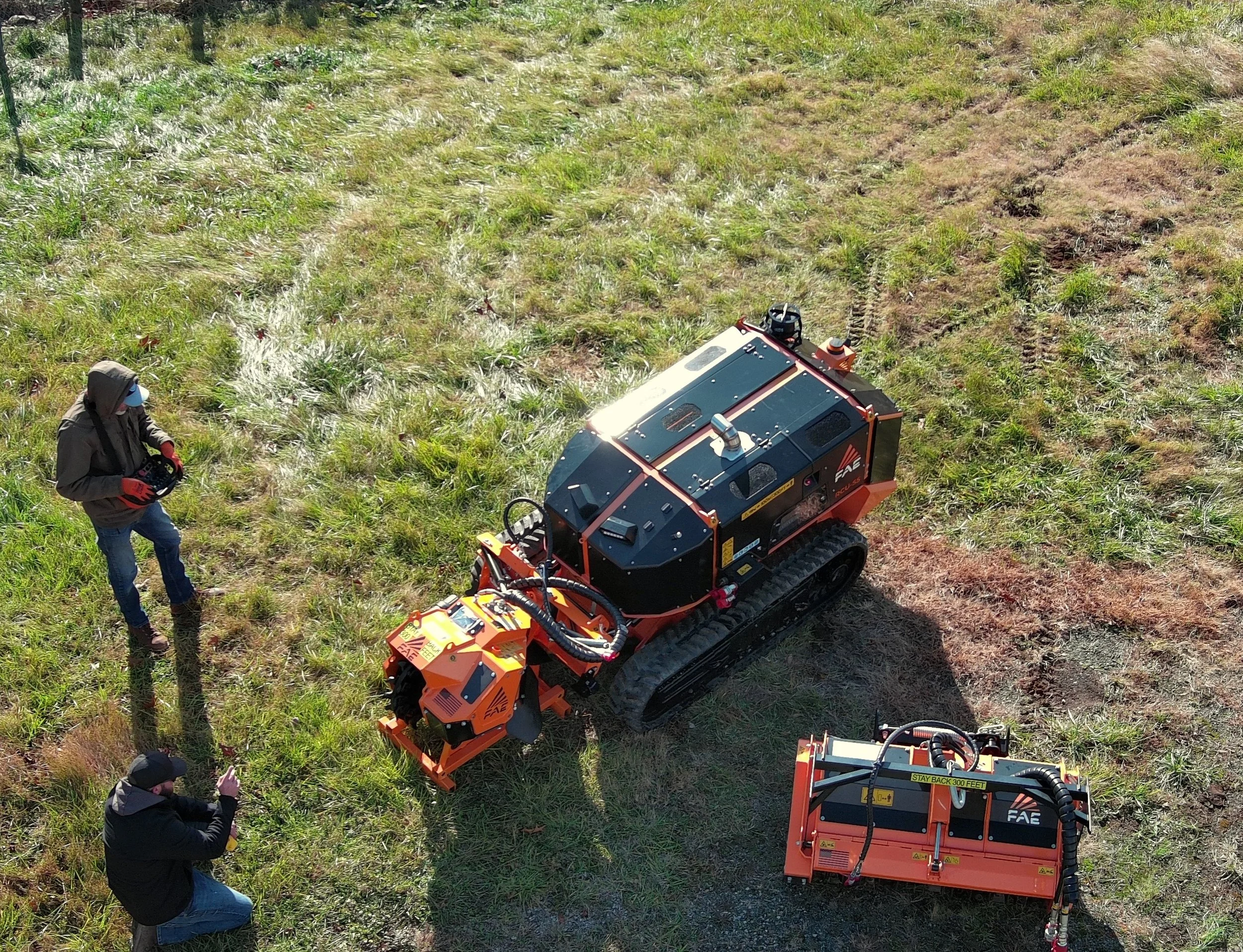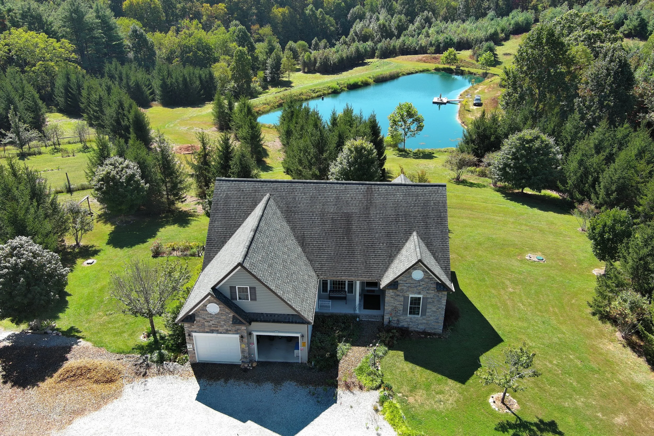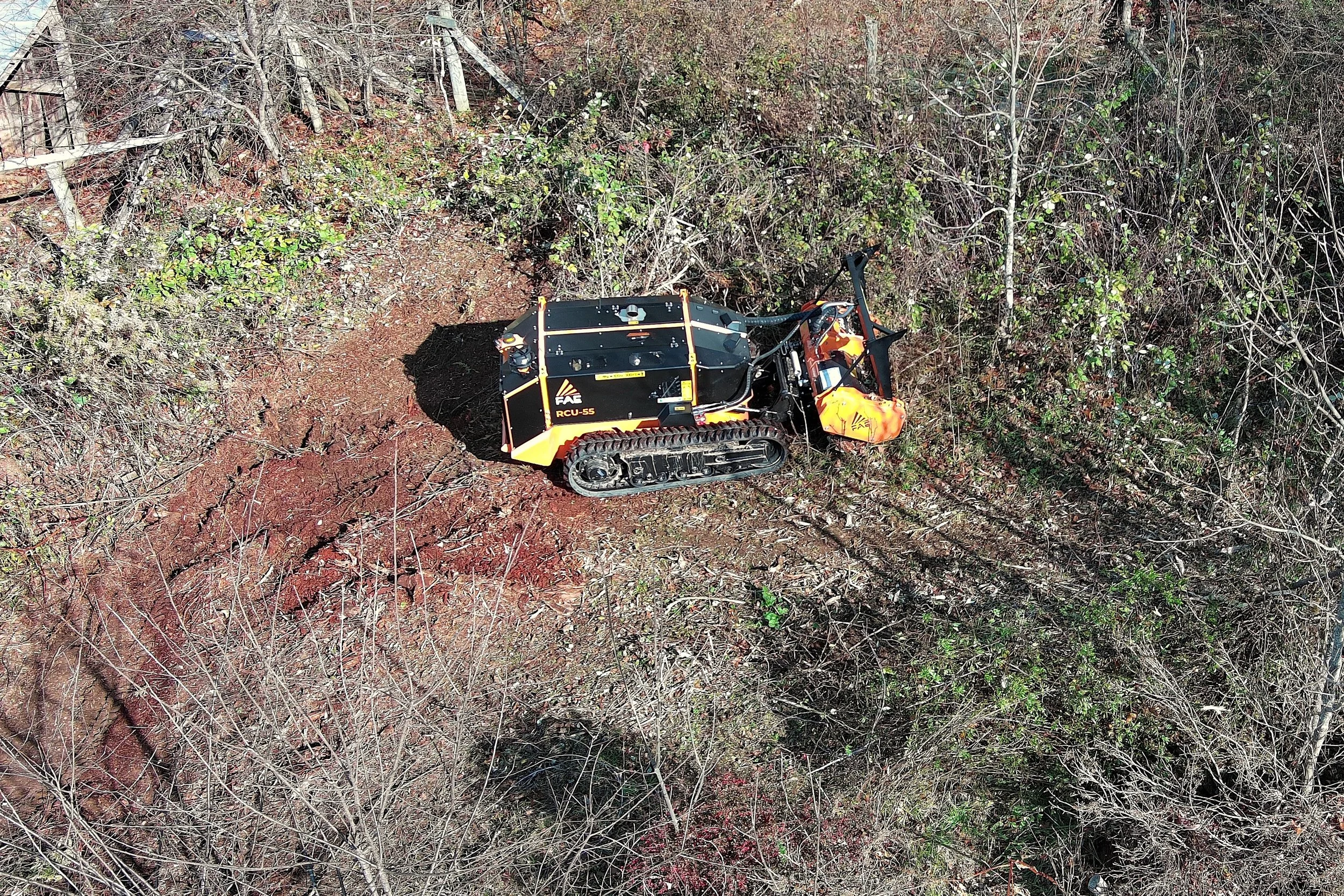
What We Offer
Aerial Photography and Videography For:
Real Estate
Business Marketing
Homeowners/Property Owners
Post-Natural Disaster Property Surveys
Data Collection for Insurance Claims
Services Starting at $165 - Contact for pricing
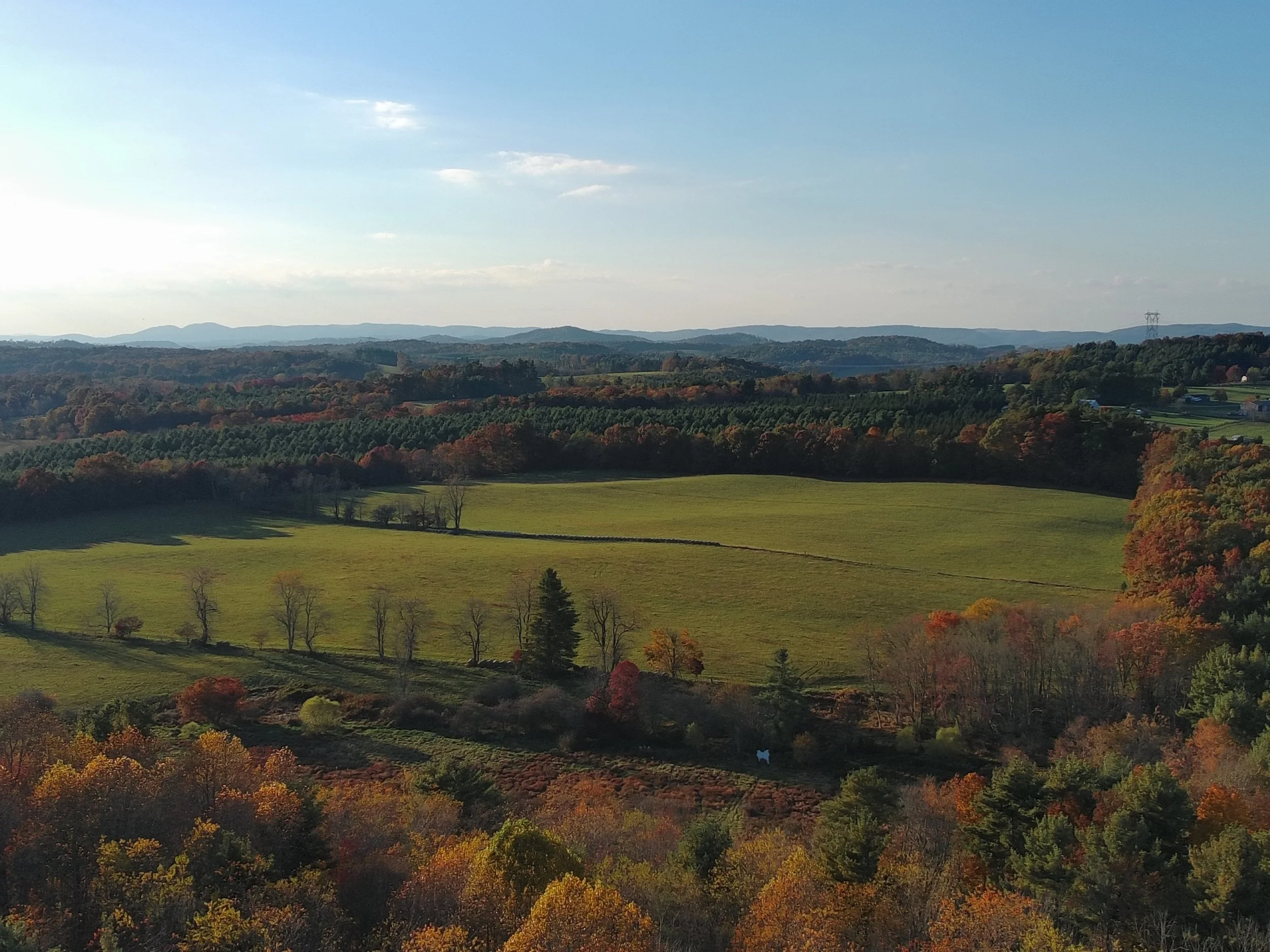
All of our standard imaging is done with our new state-of-the-art Matrice 4T aircraft. The drone’s images are so sharp that there is little to no editing ever required. I will never post anything but raw photos in this portfolio.
Our prices will always reflect that the drone does the heavy lifting. We don’t unnecessarily raise our prices to cover “editing” that is not needed at all.
Of course, if images need some adjustment to meet your expectations, we will always be happy to oblige at no additional charge.